FAQs
Our drone services cover a wide range of needs, we are initially offering aerial photography, videography, surveying, 3D mapping, infrastructure inspection, real estate photography, and event coverage, among others.
Yes, we are fully certified and insured. All our drone pilots hold valid permissions for commercial operations (PfCO) granted by the UK Civil Aviation Authority (CAA) and carry comprehensive public liability insurance.
Our services are available in and around South Yorkshire, North Wales and Chester. For specific locations, particularly in controlled airspaces, please get in touch directly so we can provide accurate information.
The duration of a drone operation depends on the nature of the service. For example, a simple photography session may be completed in a few hours, while comprehensive 3D mapping or land surveying might take several days.
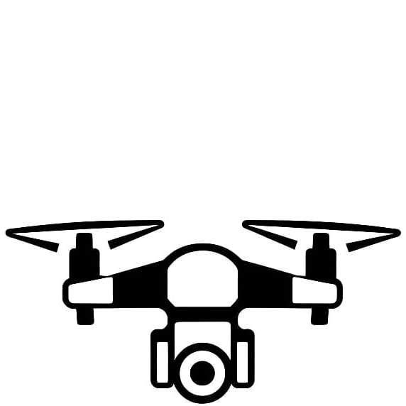
We use cutting-edge DJI drones fitted with high-resolution cameras and use additional advanced mapping and surveying tools to ensure high-quality results.
Safety is our primary concern, so we don't operate in extreme weather conditions like heavy rain, snow, or high winds. If the weather is unsuitable on the day of a scheduled operation, we'll reschedule at the earliest possible date.
Our pricing is dependent on the specific service required. Please contact us directly with details of your project for a personalised quote. Residential services start from £250 and Commercial services start from £500.
As a rule, we adhere to all CAA regulations, which include restrictions on flying in certain types of airspace. In some circumstances, we may be able to apply for permission to operate in restricted airspace. Contact us with specific details for further information.
We fully respect individuals' privacy and strictly comply with all relevant laws and regulations relating to privacy and data protection. We design our operations to minimise any impact on privacy, and we never record or share images or data without the necessary permissions.
Turnaround time varies depending on the service requested. For photography and videography, we aim to deliver the final product within a week. Larger projects like 3D mapping or land surveying might require more time.
We deliver the data in a digital format that meets your needs, such as photos, videos, 3D models, or other types of data. We use secure online platforms for data delivery, providing you with quick and easy access to your files.
Our team adheres to rigorous safety protocols, including thorough pre-flight checks, maintaining a safe distance from people and private property, and abiding by all CAA regulations. Safety is always our top priority.
As per CAA guidelines, it's not strictly required to get permission from neighbours. However, out of courtesy and in the interest of privacy, it's generally a good idea to let neighbours know in advance.
Yes, we can operate drones in urban areas. However, additional precautions and safety measures must be followed, and the operation must abide by all CAA regulations.
We strictly follow CAA regulations, including maintaining the mandated altitude limit and keeping a constant visual line-of-sight with our drones. Additionally, our drones are equipped with safety features such as automatic return-to-home functions in case of low battery or lost connection.
Sub-250g drones are subject to fewer restrictions than larger drones. However, they must still be flown within the operator's line of sight, cannot be flown in prohibited areas or at altitudes over 400 feet, and should not be flown in a way that could endanger people or property.
Contact Us for Professional Drone Services
We'd love to hear from you! Fill out the form below to get in touch with our friendly team. Whether you need stunning aerial imagery, reliable inspections, or accurate surveying, we're here to help. Let's discuss your project and provide you with a customized solution that exceeds your expectations.
Get in Touch
Phone
07478 675700